
GriddedPatchSampler#
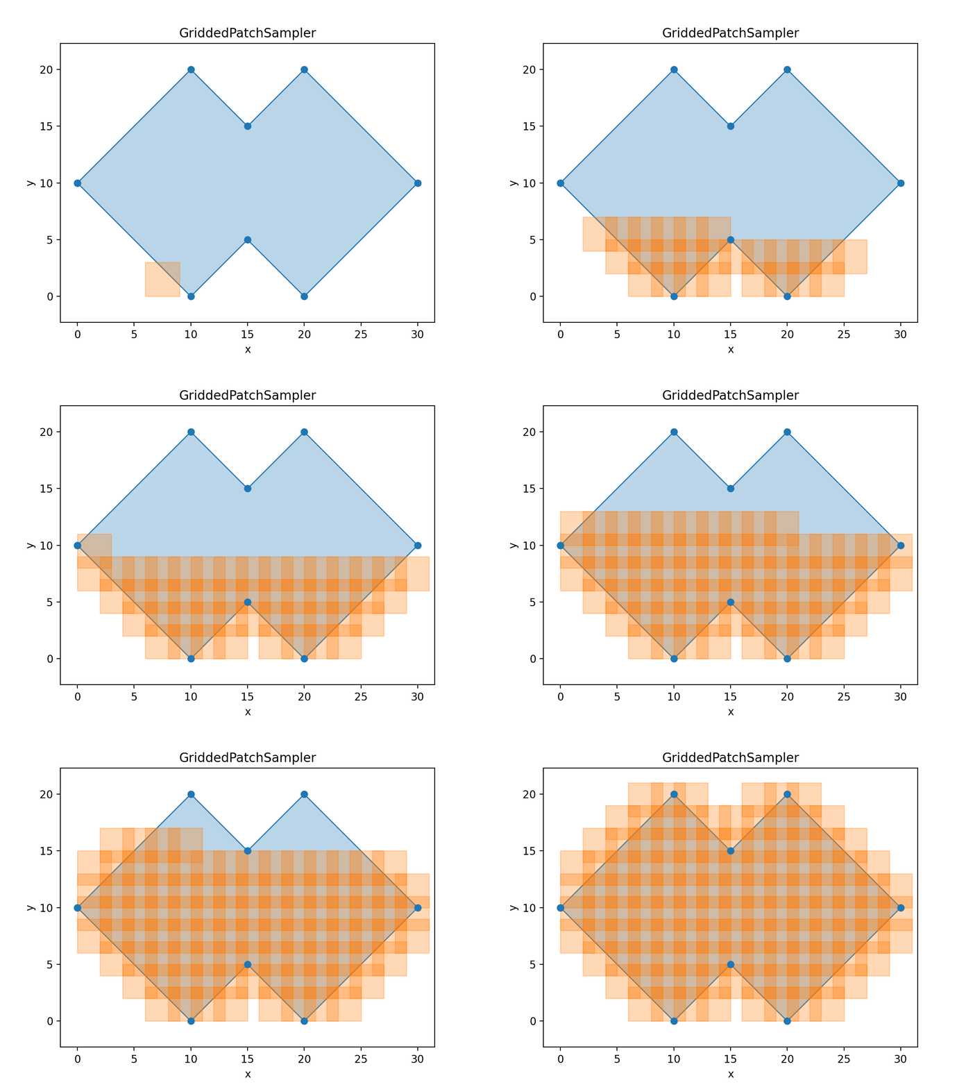
- class torchgeo.samplers.GriddedPatchSampler(dataset, *, size, stride=None, roi=None, units=Units.PIXELS)[source]#
Bases:
SpatialSamplerSample locations from a region of interest in a grid-like fashion.
This is particularly useful during evaluation when you want to make predictions for an entire region of interest. You want to minimize the amount of redundant computation by minimizing overlap between chips.
Usually the stride should be slightly smaller than the chip size such that each chip has some small overlap with surrounding chips. This is used to prevent stitching artifacts when combining each prediction patch. The overlap between each chip (
size - stride) should be approximately equal to the receptive field of the CNN.Added in version 0.10.
- __init__(dataset, *, size, stride=None, roi=None, units=Units.PIXELS)[source]#
Initialize a new GriddedPatchSampler instance.
The
sizeandstridearguments can either be:a single
float- in which case the same value is used for the height and width dimensiona
tupleof two floats - in which case, the first float is used for the height dimension, and the second float for the width dimension
- Parameters:
dataset (GeoDataset) – Dataset to sample from.
size (tuple[float, float] | float) – Dimensions of each patch.
stride (tuple[float, float] | float | None) – Distance to skip between each patch (defaults to size).
roi (Polygon | None) – Region of interest to sample from (defaults to the bounds of
dataset.index).units (Units) – Defines if
sizeandstrideare in pixel or CRS units.